Yorkshire & The Dales
God’s Own County
The Yorkshire Dales National Park and Yorkshire itself is a beautiful place, hence the name ‘God’s own country. The history and landscape allures people from all around the world and has a bit of everything for everyone. I have always lived on the edge of the Dales, and visited regularly ever since I was a young lad. However, I never truly appreciated the area until in my late 20’s where I began to cycle and hike/walk more regularly. I found my hunger and curiosity grew the more I visited, immersing myself in the landscape.
Below you will find the hikes/walks that have ratings of difficulty and contain mainly my own stories, routes, GPX files and, photographs. Some longer than others. I hope others can enjoy their own Yorkshire adventure like me.
BLOGS & ROUTES
Embsay Crag & Rylstone Cross
Embsay Moor is a large area of moorland to the North of Skipton. Much of it can be rough underfoot, however, there are wide 360 extensive views from the Crag and the cross, covering the Dale and beyond.
Distance: 8 miles / 12.5 km
Location: Barden Reservoir
Ilkley Moor
Among the moor, treasures such as Rombalds Moor trig point, white well spa cottage, and, the Twelve Apostles (prehistoric rock carvings and ancient monument) can be discovered.
Distance: Any
Location: Ilkley / Eldwick
Dodd Fell & Drumaldrace
Dodd Fell & Drumaldrace are part of the Dales 30. The route starts from the town of Gayle, following a lovely horseshoe route. Fells of Sleddale valley surround it to the south of Hawes in Wensleydale.
Distance: 9 miles / 14 km Location: Gayle
Darnbrook & Fountains Fell
Contributing to part of the Dales 30, and rarely visited, are Darnbrook Fell & Fountains Fell. They are one of many mountains in the Yorkshire Dales, starting and finishing in the modest village of Arncliffe.
Distance: 13.5 miles / 22 km
Location: Arncliffe
Moughton & Moughton Scar
Situated in the Yorkshire Dales lies the quaint Town of Austwick. A town where visitors can explore stunning geological sites such as the Norber Erratics, a collection of carboniferous limestone and sandstone boulders that were moved by the ice age glaciers created by weather erosion. Moughton and Moughton Scar have an irresistible limestone panorama.
Distance: 8.5 miles / 13.6 km
Location: Austwick
Rylstone Cross & Cracoe Fell
Rylstone is a tiny village alongside the busy A6265 Skipton to Grassington road with an attractive duck pond manor house, which used to be the village green. It is also home to the famous ‘Calendar Girls’ which is where some of them still live. For such a small hamlet, it’s your standard pretty country village in the Dales.
Distance: 8 miles / 13 km
Location: Rylstone
Beamsley Beacon
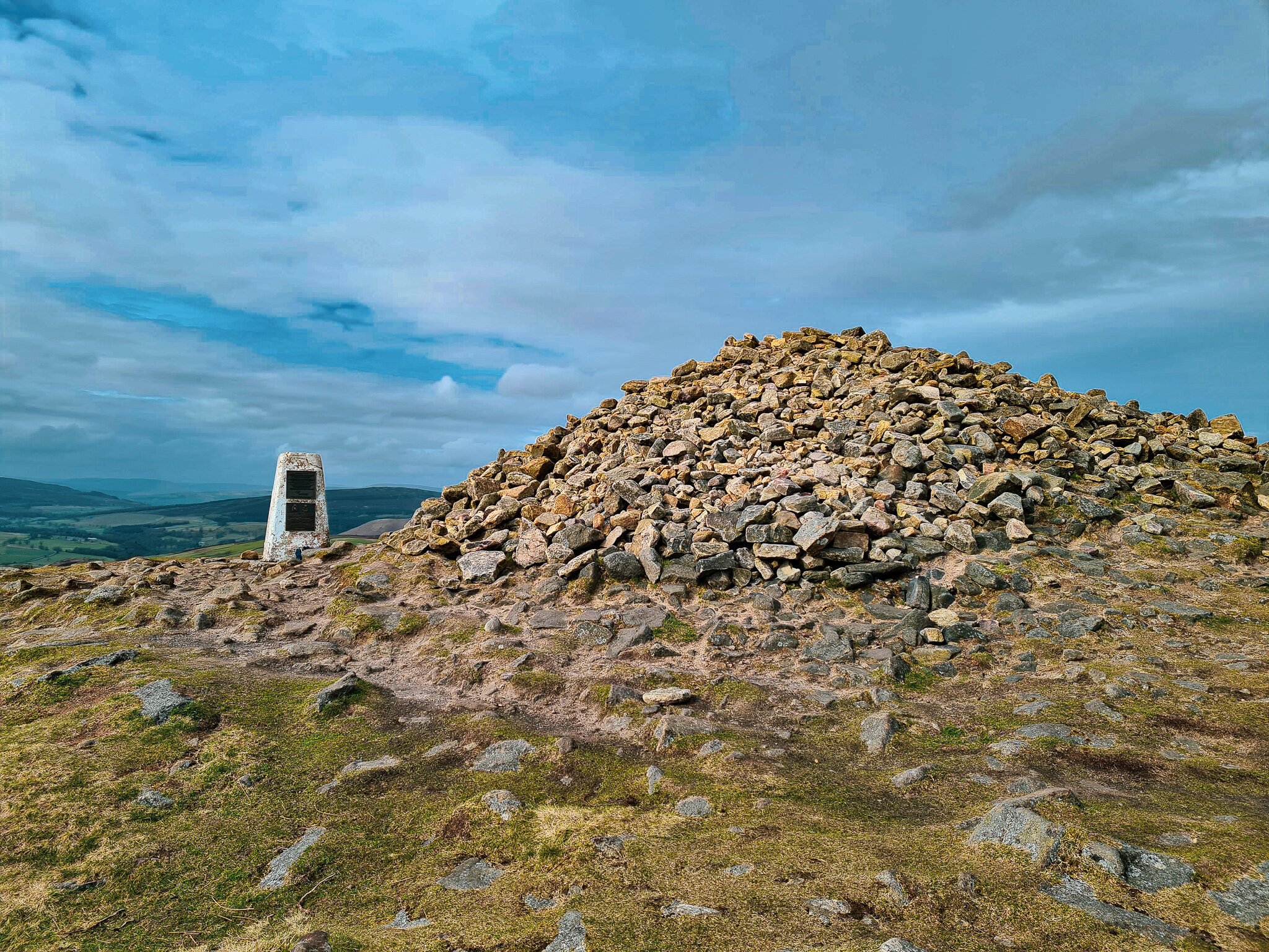
Beamsley Beacon (also known as Howber Hill) is a prominent landmark in the Lower Wharfedale area and lies on the boarder of the Yorkshire Dales. The summit is visible by a large stone mound that has said to have been built around 4,500 years ago.
Distance: 8 miles / 13 km
Location: West Yorkshire
Keighley Moor
The trail took us deeper into the wild moorland, submerging ourselves deeper towards the valley of Cowling below, as etchings of trail lines lay in front.
Distance: 9 miles / 14 km
Location: Oxenhope
Oxenhope Nab & High Brown Knoll
Oxenhope Nab is a short but rewarding walk, with stunning views overlooking the village of Oxenhope in West Yorkshire. As the Nab is fairly close to my home, I was keen to explore further into the bleak wind-swept moorlands that lay behind it.
Distance: 11 miles / 18 km
Location: Oxenhope


